From 30 September to 02 October, CIESIN hosted the “Second Human Planet Forum” bringing over 130 experts on population, settlement, infrastructure data, poverty mapping, and subnational administrative boundaries to the Columbia University Lamont-Doherty campus, New York. As part of the forum program, the World Wide Human Geography Data (WWHGD) working group organized a workshop on “Mapping Internal Administrative Boundaries," which included a panel discussion and lightning talks by diverse experts from the United Nations, government, industry, humanitarian organizations, and academia.
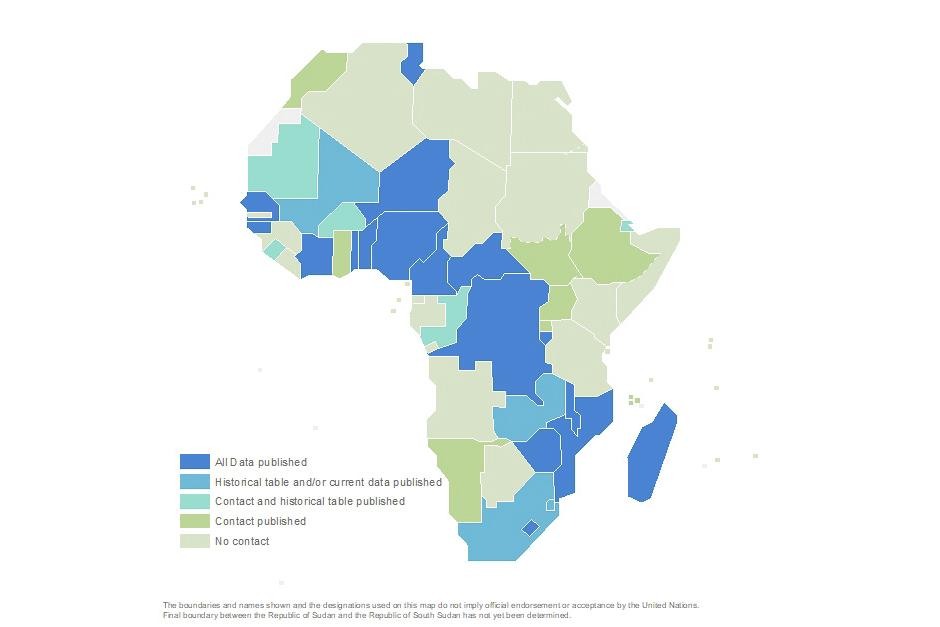
The work programme and latest status on SALB were presented in the “Lightning Talk” session. The lightning talk on SALB underlined the importance of national ownership as a guarantee for the reliability and authoritative nature of the data published. Also, the SALB programme welcomed a wider participation of the community mapping internal administrative boundaries to support, define and contribute results of their operational initiatives to enhance the overall availability and quality of internal administrative boundaries in the SALB context.


