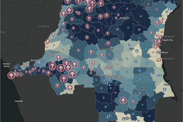
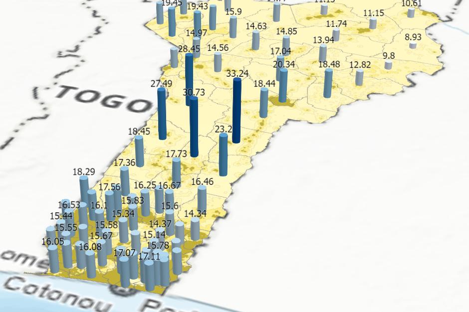
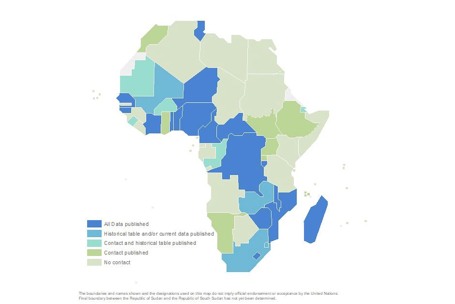
The SALB programme is an operational programme which aims to provide accessible and usable worldwide standardized geospatial data on administrative units, a type of common geography, produced by National offices. Using common geographies, one of the guiding principles of the Global Statistical and Geospatial Framework (GSGF), is a powerful mean to integrate data. The principle is to use common agreed geographies to display, store, report, and analyze social, economic, and environmental indicators across statistical datsets from different sources. Common geographies, particularly administrative units, are critical to compare areas, sub-national and regional levels for decision-makers within and between countries. Global phenomenon such as climate change, global pandemic, worldwide population growth, or socio-economic trends can no longer be apprehended in silo and require understanding phenomena and their impact across different countries and regions.
Administrative units, as collected in the context of the SALB programme, can be used for the consistent aggregation and dissemination of statistical data for measuring and monitoring of the targets and inidcators for the Sustainable Development Goals of the 2030 Agenda for Sustainable Development. Administrative units have been identified as a priority fundamental geopatial data theme, out of the 14 fundamental geospatial data theme, during its considerations and recognized the importance of the SALB programme in this context.
The Global Statistical and Geospatial Framework, adopted in 2019 by the Committee of Experts on Global Geospatial Information Management (UN-GGIM) and in 2020 by the Statistical Commission, is a key framework and enabler for the integration of geospatial and statistical data through the application five principles. These guiding principles are considered in the context of the SALB programme and its realization, beyond the principle of common geographies presented before, as it also relies on:
- Geocoded units recorded data (Principle 2), data version, historical tables and unique records
- Interoperability (Principle 4) as per its agreed standards, processes, institutional approach and compatibility with more detailed coding schemas
- Accessibility and usability (Principle 5) with clear data custodians (the National Mapping/Geospatial Offices) and data accessible through the SALB website
The SALB programme is a global operational programme that can contribute to put in practice and materialize elements of the GSGF for the promotion of National offices, the availability of common geographies data and a closer integration of statistics and geospatial information. The programme aims to be an enabler for measuring and monitoring the Sustainable Development Goals and prvide data and insisghts to act on them. However, a mutli-stakeholder institutional cooperation acrossnational geospatial, statistical administrative offices at national, regional and global levels is key to this endeavour. The SALB programme invites all relevant national, regional and international partners and organizations to join this effort.


