网址索引
News
Learning how to use mapping for monitoring malaria eradication
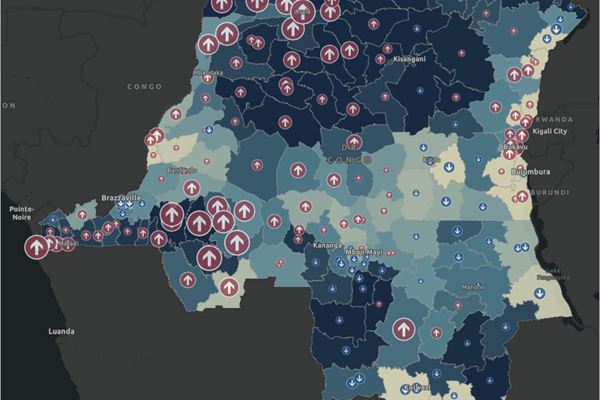
The United Nations Sustainable Development Goals (SDG) 3 on “Good Health and Well-Being” includes reducing the rate of malaria per 1,000 people by 90 percent from 2016 to 2030. A learning tutorial is available on how to use mapping for monitoring progress on eradicating malaria.
Improving access to education with climate analysis in Benin
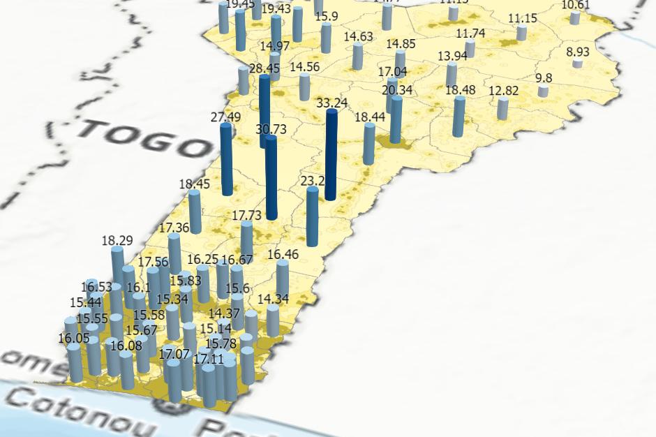
The story map below presents how geospatial data on precipiation and temperature through time and disaggregated at sub-national units can help understand regional climate impact for better planning of school calendars.The story map is a collaboration with the United Nations Educational, Scientific and Cultural Organization (UNESCO), International Institute for Educational Planning (IIEP), the full screen version is available her
Toward a pan-African geospatial dataset on common geographies
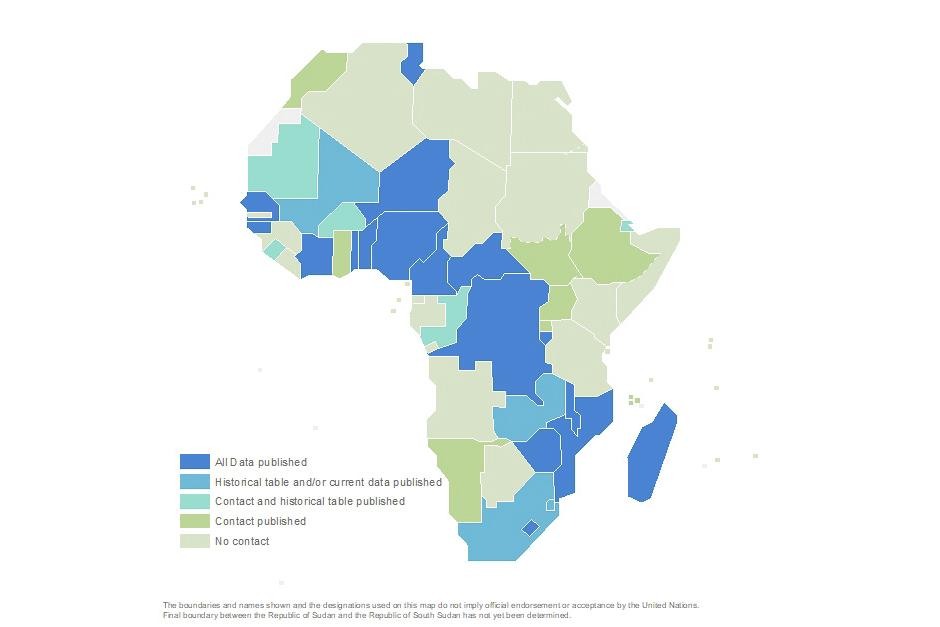
Administrative boundaries have been highlighted as a priority “core global fundamental geospatial data theme” by the Committee of Experts on Global Geospatial Information Management (UN-GGIM) Working Group on Global Fundamental Geospatial Data Themes.


