Responding to the invitation of the Bureau of UNGEGN to make a special presentation on the SALB programme and its ongoing activities, the presentation, also recorded during the UNGEGN proceedings, emphasized the overarching agendas referring to geospatial information, objectives of the programme and highlighted the contribution of the programme to the standardization of geographical names as they pertain to the denomination of administrative units. In particular, reference was made on the recent collaboration between experts from UNGEGN, SALB and the National Mapping Agency of Mongolia to avail the geospatial dataset of Mongolia including the with the transliteration of Mongolian cyrillic characters into Latin characters, in accordance with the Mongolian National Standard (MNS 5217:2012). This collaboration has help to contribute to the promotion of the work of the National Mapping Agency of Mongolia, the use of names internationally using scientifically-based romanization system as promoted by UNGEGN and the availability of geospatial data on administrative unit as per SALB programme objectives.
The United Nations Group of Experts on Geographical Names (UNGEGN) work has spanned over 50 years. In November 2017 as per ECOSOC resolution 2018/2, the group was dismantled and recreated with the same name and new working methods. The 2019 session therefore heralds the first session of the new body, with a new agenda and over 90 papers for information and discussion, covering topics such as toponymic training, place names supporting sustainable development, toponymic data files and gazetteers, romanization systems, exonyms, geographical names as cultural heritage, and toponymic guidelines for map and other editors for international use. UNGEGN also launched its new website and a prototype of world geographical names database web GIS application.
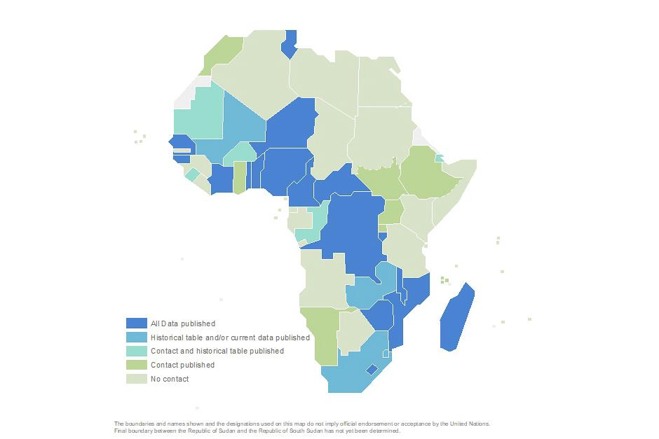
The SALB programme looks forward to future collaboration and partnerships with UNGEGN in making more geospatial data and names available on administrative units.


