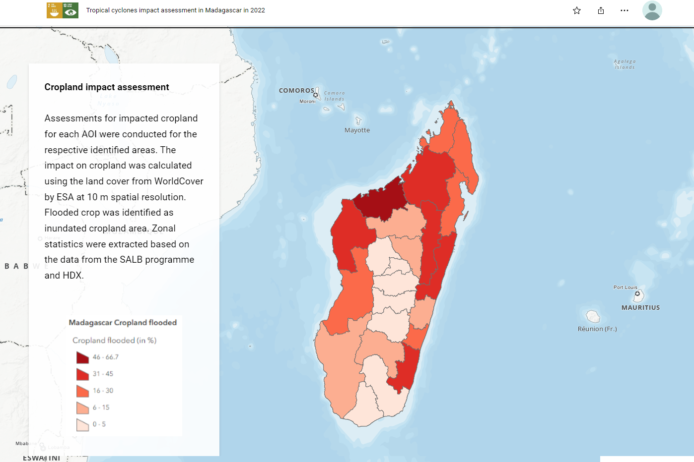
The story map below details how the Food and Agricultural Organization (FAO) performed a rapid geospatial assessment using Earth observation data and the common geographies collected in the context of the SALB programme, the full screen version is here.
Image/video

