Background
The SALB programme was launched in 2001 under the impulse of the United Nations Geographic Information Working Group (UNGIWG) and its implementation initially led by the World Health Organization (WHO). In 2011, SALB was transferred to the United Nations Secretariat and jointly managed by the Geospatial Information Section of the Office of Information and Communications Technology (OICT) and the Statistics Division of the Department of Economic and Social Affairs (DESA). These offices also are Secretariat to the United Nations Committee of Experts on Global Geospatial Information Management (UN-GGIM). The overall objectives, concept and methods were elaborated during the first period and further defined and standardized by the UN Secretariat.
The SALB programme is implemented in five distinct phases: Outreach to United Nations Member States; designation of focal points; data provision; data processing and standardization; and data validation and dissemination. The following sections provide more details for each of the above-mentioned steps.
Outreach to National Authorities
Every year, an official communication on the SALB programme is sent in the form of a Note Verbale in English, French and Spanish to the Permanent Missions of the Member States of the United Nations in order to request that information on administrative units of their respective country (geospatial data and historic changes) be transmitted to the United Nations and a focal point to be nominated.
Focal point designations
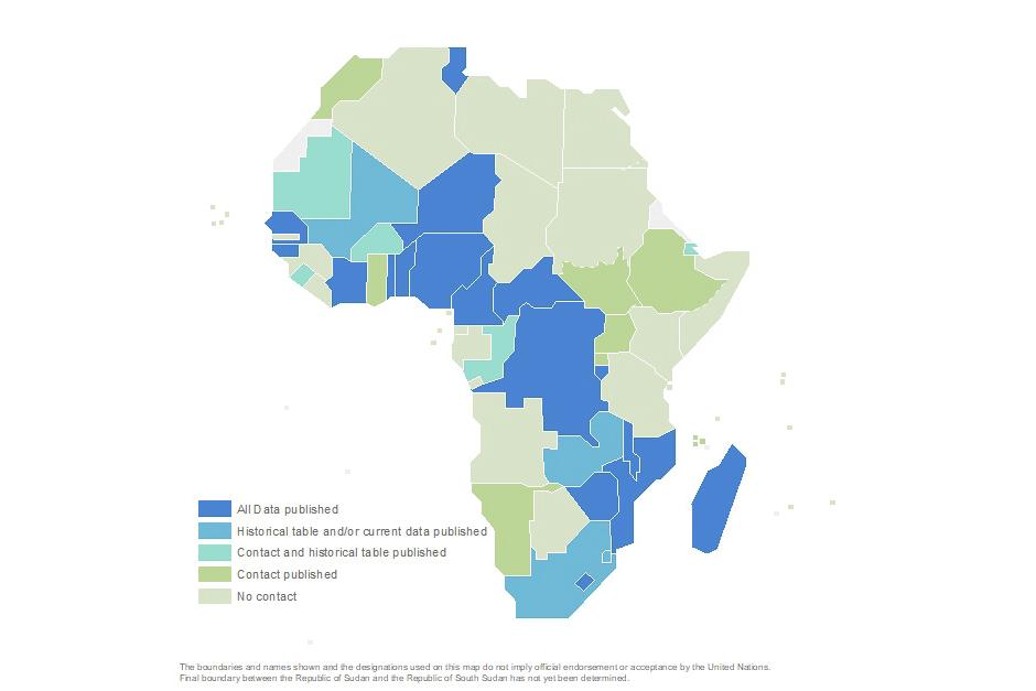
A Note Verbale, or sometimes an email, from the Permanent Mission of Member States notifies the UN Secretariat of the focal point person, usually the Director of the National Geospatial Information Authority or designated representative. The focal point is then officially assigned to liaise with the Secretariat and its contact details are made available in the Data section.
Data provision
The UN Secretariat provides credentials to the focal point to access the country page and upload the geospatial data on administrative units through the SALB website. The geospatial data can also be provided via email, official in-person delivery or File Transfer Protocol (FTP) to the Secretariat. The Data provision terms are detailled in the Terms for Contribution.
Data processing and standardization
The data is then checked, when needed adjusted and harmonized following the Data specifications and the United Nations internal policies and in order to be able to aggregate the country specific data collected into regional or global maps. The application of the Data specification is the mean for a common and global representation and ensures the homogeneity and quality of the data that is being shared.
Data validation and dissemination
Once processed, the data is shared with the National Geospatial Information Authority for validation. Once validated by the National Geospatial Information Authority, the Data is made available publicly for download from the Data section of the website. The use of the data are detailled in the Terms of Use, as well as in the above Data specifications.


