The SALB programme wishes to thank all its partners including National Geospatial Information Authorities, Regional partners, United Nations entities, Institutions, Commissions, Committees or Networks for their contributions including technical guidance, multi-lateral cooperation, resources, advocacy and outreach. The SALB programme would not be possible without them.
Regional partners
The SALB programme relies on regional partners who play a crucial role at all stage of the process describded under the methodology of the programme, by providing advocacy and technical support in close cooperation with the National Geospatial Information Authorities responsible for administrative units and boundaries.
The current regional partners are:
The referenced media source is missing and needs to be re-embedded.
| Africa: Economic Commission for Africa of the United Nations, Geo-information Systems Section |
The referenced media source is missing and needs to be re-embedded.
| Asia & Pacific:To be determined |
The referenced media source is missing and needs to be re-embedded.
| Americas: Instituto Panamericano de Geografía e Historia (IPGH) email: cesar-rodriguez@ipgh.org / secretariageneral@ipgh.org |
The referenced media source is missing and needs to be re-embedded.
| Arab States:To be determined |
The referenced media source is missing and needs to be re-embedded.
| For Europe:EuroGeographics email: contact@eurogeographics.org |
National Geospatial Information Authorities
The National Geospatial Information Authorities are at the core of the SALB programme as they are recognized as the authoritative source of information on administrative units and boundaries. All the information and data shared through the SALB website are validated by the National Mapping Agencies.
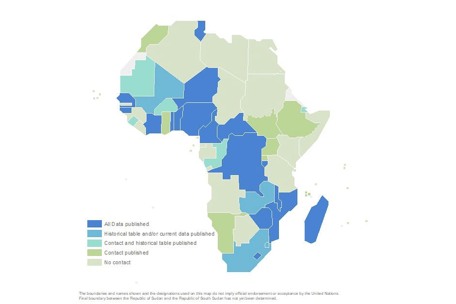
Please refer to the Data section of the website to find contact information of the National Geospatial Information Authorities.
Network of agencies, sponsors and partners
SALB has been supported by over 50 institutions since its launch including:
- The United Nations Group of Experts on Geographical Names (UNGEGN);
- Global and Regional Committees/initiatives such as the International Steering Committee for Global Mapping (ISCGM), the Permanent Committee on Spatial Data Infrastructure for the Americas (PC-IDEA), the Permanent Committee on GIS Infrastructure for Asia & the Pacific (PCGIAP) and the Committee on Development Information, Science and Technology (CODIST).
- The Bill and Melinda Gates Foundation;
- Non-governmental organizations such as the International Center for Tropical Agriculture (CIAT)
- Governmental institutions such as the U.S. State Department
- Other academic institutions such as Columbia or Yale University


