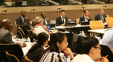
The Second Administrative Boundaries (SALB) programme returns and was presented on 01 August 2017 at the Side Events of the Committee of Experts on Global Geospatial Information Management (UN-GGIM). The concept note for the SALB Side Event was advertised on the UN-GGIM website for its Seventh Session proceedings. The Side Event on SALB included presentations by SALB Programme Manager, EuroGeographics, United Nations Economic Commission for Africa and the National Mapping Institute of Cameroon.
 After some years of technical and resources challenges, the SALB team announced the launch of its new website and the upcoming release of the current datasets. SALB datasets will go through a last round of consultations with respective Member States agencies focal points throughout the year to ensure the data is up-to-date and in accordance with the data specifications.
SALB, by facilitating the collection and dissemination of a geospatial dataset on administrative boundaries, can provide a worldwide framework for monitoring and visualizing the Sustainable Development Goals, in particular through integration with statistical information. National ownership and the collective efforts of its participants are at the centre of the SALB programme.
Looking forward your support and active participation!