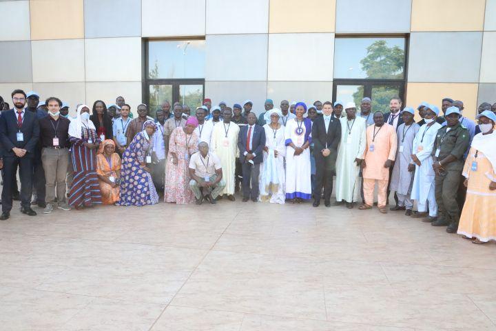
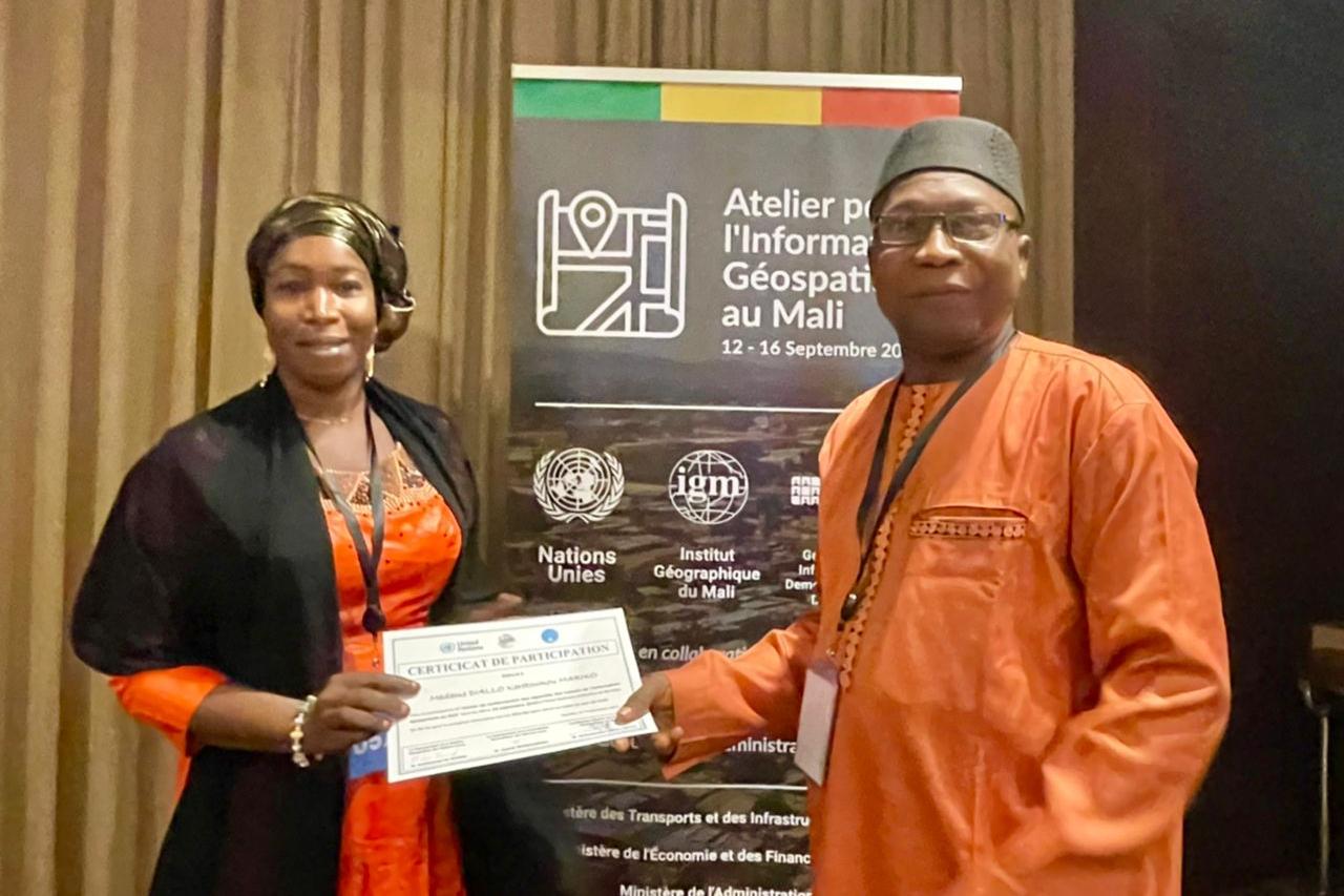
Through its SALB Programme, the UN Geospatial Information Section led the delivery of a week-long national capacity workshop in Bamako, Mali, from 12 to 16 September, in close cooperation with the Institut Géographique du Mali. The workshop aimed at strengthening the national geospatial information actors in Mali and included contributions from the GRID3 programme, the Economic Commission for Africa, Statistics Division, Global Service Centre, GIS MINUSMA, and other partners, through support from the Bill and Melinda Gates Foundation.
The workshop was opened by Ms. Dembélé Madina Sissoko, the Minister of Transport and Infrastructure, responsible for the IGM, who stressed the national importance of available and accessible geospatial information for good decision-making in the economic, societal and environmental domains The workshop brought together over 80 participates from governmental departments and senior experts from across Mali’s geospatial information ecosystem, including the National Transition Council (NTC), Statistical, Cadastral, Defense, Forestry, Health, Development, and Interior agencies and other partners. The workshop included a segment focusing on the strategic global geospatial frameworks developed by the Committee of Experts on Global Geospatial Information Management (UN-GGIM), including presentations and discussions on the value of geospatial information and the Integrated Geospatial Information Framework (IGIF).
During discussions, senior experts and decision-makers agreed to re-establish an interministerial committee to coordinate geospatial information, composed of the representatives officially designated by the competent ministries. Participants also agreed to develop a Geospatial Country Action Plan which would be led by Mr. Keita, Director-General of IGM and Ms. Sissoko as high-level geospatial “champions”. The workshop emphasized the importance of strengthening capacity building in geospatial information management and statistical integration with presentation on the Global Statistical and Geospatial Framework (GSGF), the common geographies and geocoding in the SALB programme and national considerations. Other topics from the workshop included geospatial data collection, production, methodologies, tools, analysis and dissemination.
Closing the workshop, the representative of Ministry of Transport and Infrastructure noted the timely moment in which the workshop participants found themselves, as the country seeks a pathway to rebuild and stabilize itself, with geospatial information offering all government entities “with the data to build a roadmap to a safer, more secure future for Mali and its people”. The workshop had high visibility as officially authorized by the Cabinet of Ministers in Mali, informed to the Prime Minister, opened by and covered extensively in the written press and the National TV news broadcast ORTM.
The workshop contributed to the overall Economic and Social Council (ECOSOC) resolution 2022/24 on global geospatial information management, in capacity-building, norm-setting, data collection, data dissemination and data sharing, among others, and the importance of geospatial and statistical integration in developing countries.


